|
A very nice walk along the south coast
of Cornwall. Starting in Polperro; one of the most scenic fishing
villages in the Duchy, and finishing at Pencarrow Head.
For this walk, you need OS Landranger 200, Newquay &
Bodmin (to get there)
PLUS
|
OS Landranger 201, Plymouth & Launceston. |
Severity
of walk
It's always very pleasant to walk through
Polperro, we never seem to get tired of the place. Many people
walk along the coastpath, but they rarely get too far from the
village; certainly in this direction, though many walk the other
way towards Talland Bay:- One of my very favourite coves.
The views are far-reaching here; as
you start, if you look behind, you can see the coastline leading
to Rame Head: While later on, as the coast curves round, The
Dodman and the coast around The Roseland come into sight.
While there are steep stretches, on
a clear, sunny day, it's a good place to be.
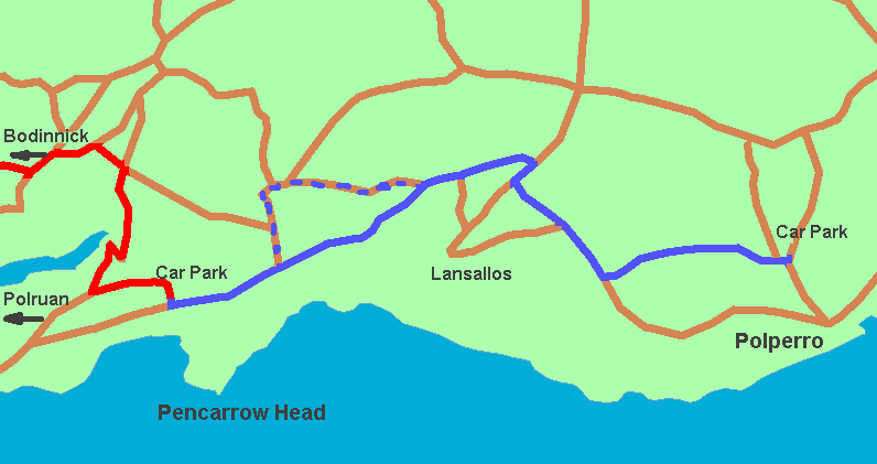
Park the first car in the car park, grid reference SX 148
514
What 3 Words: elevate.schooling.lifestyle
N 50°19'59.36" W 4°36'4.96"
If you're driving from the westward side of Fowey (roughly
Lostwithiel onwards), you need to find the B3269 just outside
Fowey. Take the Bodinnick Ferry. Out of Bodinnick, take the second
right, signposted Whitecross. Follow downhill, at the bottom,
turn sharp right at a group of buildings; drive carefully (very
narrow) through Pont then up steep hill (sharp bend) watch out
for left turn sign, turn is sharp left after bend. Follow past
Lanteglos Church, watch out for car park on left when you see
the main road in front.
If you're driving from the eastward side, you really need
to try and head towards Polruan. Don't fall into the trap of
going into the wrong car park, just keep your eyes peeled for
the narrow lane on the right. Unfortunately, the car park is
on the margin of the Newquay & Bodmin map, making it more
difficult to get bearings.
Park the second car in the car park at Polperro, SX 206 517
What 3 Words: vans.building.stress
N 50°20'11.88" W 4°31'24.81"
Now, this isn't easy to describe, and I expect I'll get the
blame if (when) you go wrong; but you should have the map or
Sat Nav with you anyway...shouldn't you?
From the car park near Pencarrow Head, drive up to the road
and turn left. Follow this for a while, until you can see a smaller
road straight in front while the main road bends to the left.
Don't worry if you miss this little road, it's only a shortcut,
you can just stay on the main road and get there anyway. Carry
on for a little way, turning right at a left-hand bend (I don't
think it's a T junction). On the OS map, Mabel Barrow is
written across the road to take. After a short distance, turn
left then next left (some way further). Follow this road downhill
and turn left at the bottom. Keep to the left and watch out for
the car park on the left.
|